
Tracking global wildfires
CAMS monitors wildfire hotspots
and smoke emissions
Global headlines are increasingly dominated by wildfires spreading across regions as wide-ranging as Australia and the Arctic.
Many fire-prone areas are experiencing a greater number of fires,
as the climate changes and fires follow warmer, drier weather patterns.
The Copernicus Atmosphere Monitoring Service (CAMS) uses satellite observations to keep an eye on wildfires around the world through its Global Fire Assimilation System (GFAS). CAMS uses these observations to estimate levels of pyrogenic pollutants emitted to the atmosphere and predict how smoke from the fires will spread.
This information can be fed into air quality tools, used by local populations to limit their exposure to harmful smoke. And as wildfires become increasingly prevalent and severe, local authorities need these accurate data to direct limited resources and manage the impact of the fires.
“Data from CAMS have been useful to identify the magnitude and extent of air quality in regions where we are lacking surface measurements.”
Luis Belalcazar
National University of Colombia.
Monitoring wildfire emissions
CAMS provides inventories of emissions from different sources, including natural pollutants arising from wildfires based on satellite observations of active fires.
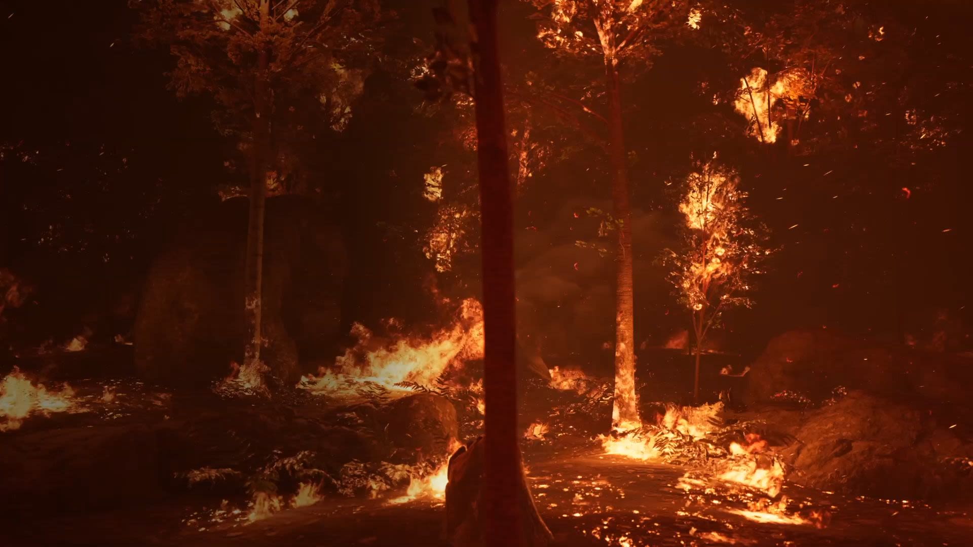
Wildfires are a vital component of the Earth system. In CAMS the term wildfire includes open burning used for agriculture, and depending on the type of vegetation present can also be called bushfire, grass fire or peat fire. In some environments they are a naturally occurring phenomenon that help to maintain balanced ecosystems. Fires clear away debris and prepare the ground for new plant life to grow. They can also help with seed dispersal.
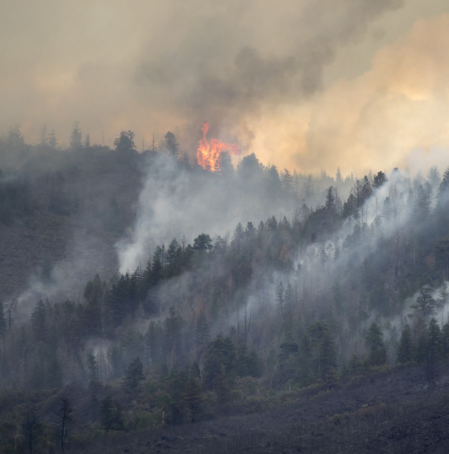
Yet when weather conditions change, wildfires can quickly get out of control. Large blazes can wreak devastation across landscapes and pose a big risk to all forms of life.
There can be huge consequences for the world’s biodiversity: in 2020, Brazil’s Pantanal wetlands, a biodiversity hotspot, suffered months of drought followed by catastrophic fires that caused some of the most significant devastation to plant and animal life there in decades. Scientists estimate as many as 17 million animals were killed by the 22.000 recorded wildfires that year.
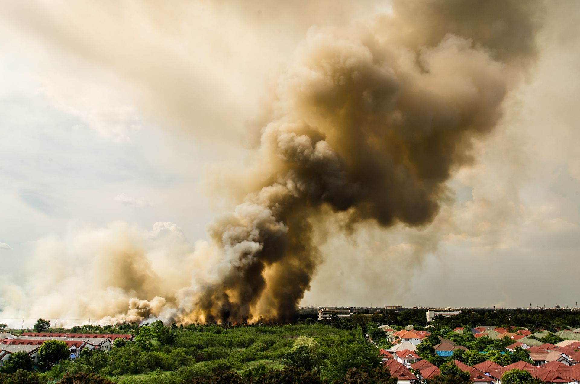
Larger fires also lead to higher smoke emissions. As ash and soot drift into the atmosphere they can be carried across countries and even continents by large-scale wind patterns, and so can potentially affect people living thousands of kilometres from the fires.
Wildfires can create a hazardous mix of particulate matter, carbon monoxide, volatile organic compounds and other harmful pollutants. This can damage all life on the planet, influence global atmospheric composition and contribute to global warming. Gas particles contained within the emissions can cause smoke poisoning, leading to serious respiratory and other health problems in humans and animals.
As the risk of widespread wildfires grows in many regions of the world, it is increasingly critical to track these emissions and their transport around the world.
Wildfires and climate change
Adding fuel to the fires
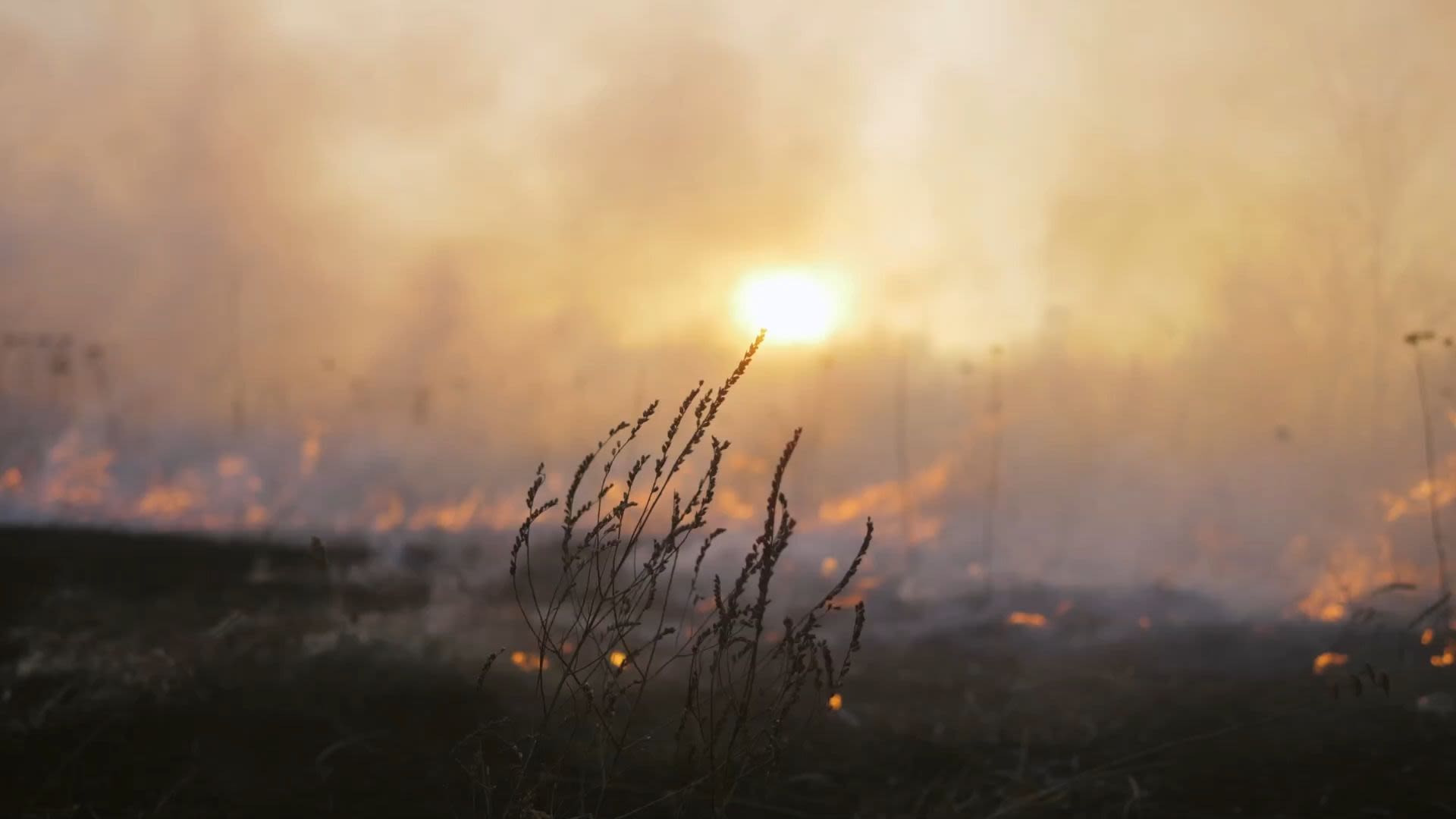
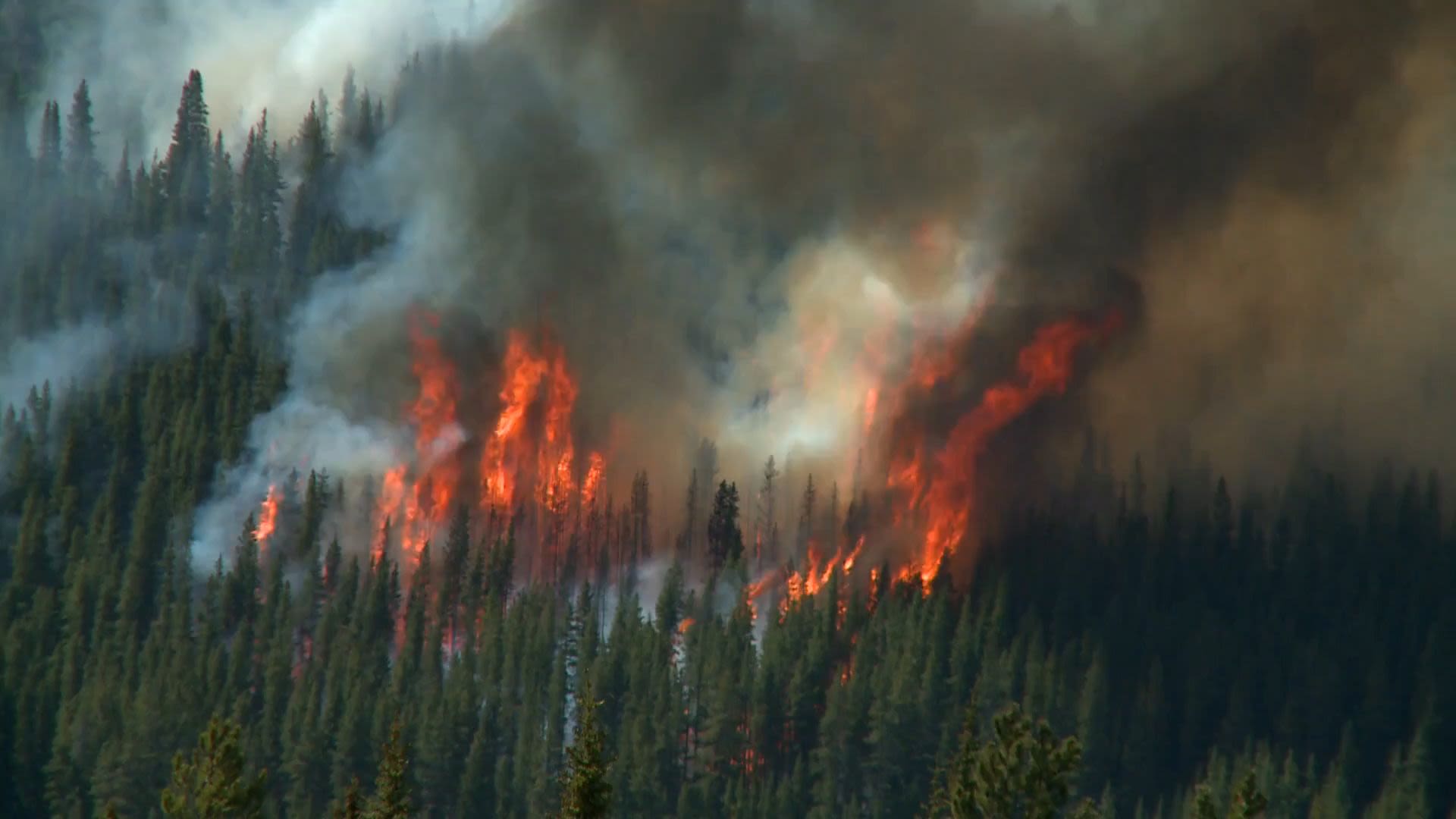
Linking wildfires to climate change is not evident. However, the consensus among researchers is that climate change will increase the likelihood of extreme weather. Droughts, rising temperatures and changing patterns of rainfall increase the flammability of vegetation, thus increasing the risks of wildfires starting and growing uncontrollably. CAMS analysis has shown that high-intensity fires have been increasing in some fire-prone parts of the world.


Droughts are predicted to become more frequent and intense in certain regions under climate change. As temperatures rise, more moisture is evaporated from the land, drying soils and vegetation, and creating more fuel to feed any potential fire. With dry material carpeting the surface of the land, fires can catch more easily — either from lightning or human ignition — and spread far more quickly.
Some research shows warmer conditions are also extending fire seasons, further increasing potential damage and harmful emissions into the atmosphere.
Winter snows are melting earlier in many regions, meaning that forests are drier and prone to wildfires for longer. For example, in California, researchers have discovered meteorological shifts resulting from climate change are driving rain away from wildfire-prone regions.
Tracking global fires
Measuring fire intensity and
smoke transport
One of the main measurements of wildfires is fire radiative power (FRP). Observations come from satellite-based sensors, which pick up the heat signals coming from Earth’s surface. A higher FRP means the fires are more intense.
CAMS provides global maps of fire activity analyses showing fire radiative power [W m-2].
The team at CAMS use the FRP data on the location and intensity of active wildfires to estimate the emissions of pollutants. This is done through its Global Fire Assimilation System – GFAS.
The GFAS dataset provides global fire data starting in 2003 running to the present day. This means CAMS can place the latest wildfire data in context against the changing climate.

CAMS also monitors smoke transport. The team uses observations of particulate matter and gases released into the atmosphere from wildfires, such as carbon monoxide, nitrogen oxide and volatile organic compounds.
One of the most relevant observations for this is aerosol optical depth – a measurement of how much sunlight can pass through the atmosphere - which helps to determine the amount of particulate matter in smoke plumes.
This information can also be combined with data on wind and weather conditions to forecast the atmospheric transport of smoke and understand the impact on local and global air quality up to five days ahead.
CAMS provides global maps of aerosol forecasts showing biomass burning aerosol optical depth at 550 nm.
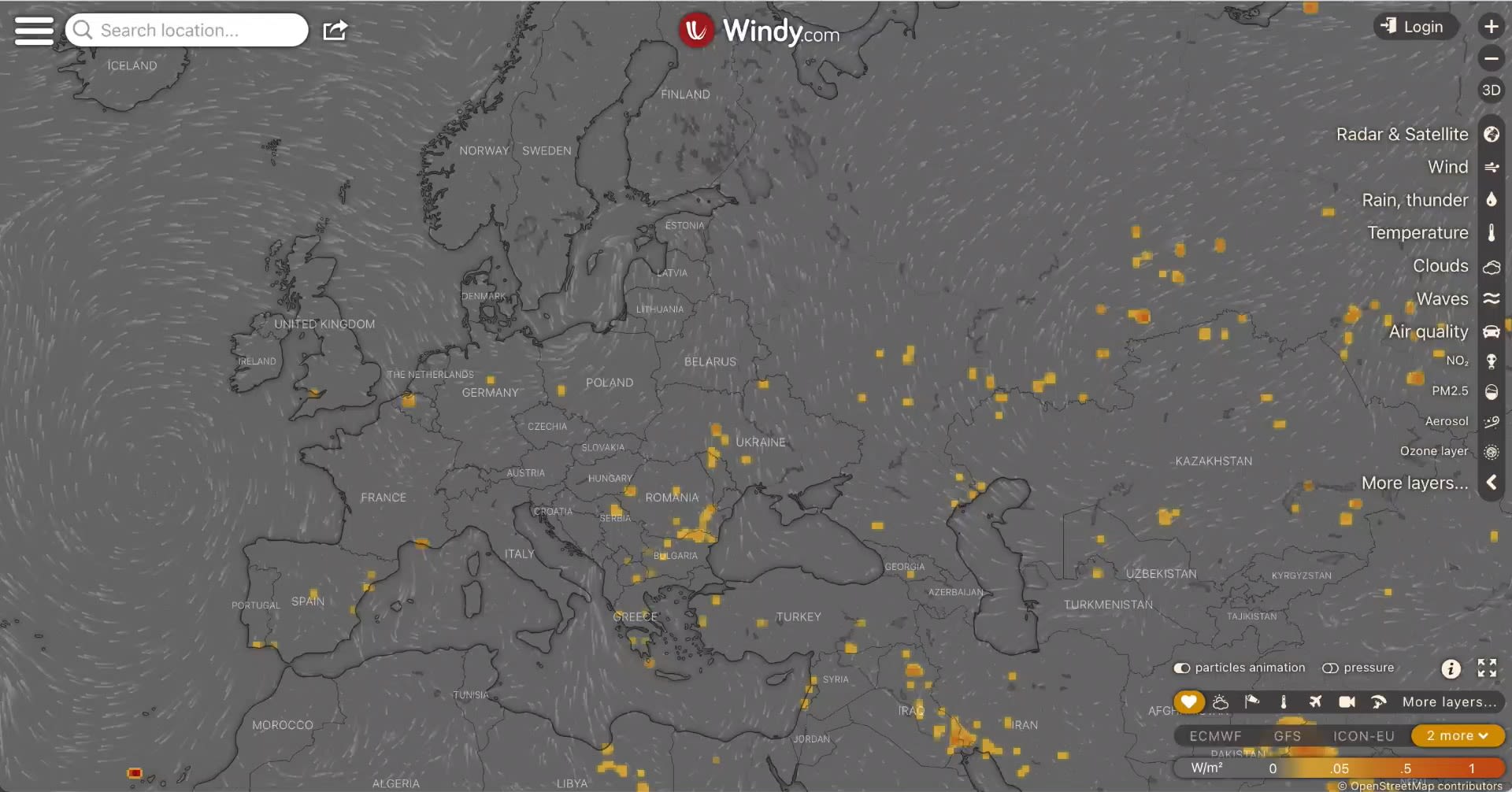
CAMS provides fire data for Windy app
CAMS has partnered with weather forecast visualisation service Windy. GFAS data are integrated into Windy, providing a ‘fire intensity’ layer so that users can quickly see where wildfire hotspots are.
Helping to mitigate the impacts of future wildfires
Wildfire information for local adaptation
The reliable, near real-time information CAMS generates on wildfires is already being used for mitigation efforts.
Local scientists, policymakers and environmental agencies can use the data to develop strategies to manage future wildfires.
For example, the National University of Colombia has been using CAMS data in their air quality research. Surface measurements of air quality are limited in the country, so CAMS data support their efforts to understand local air quality and inform the public about the associated risks.

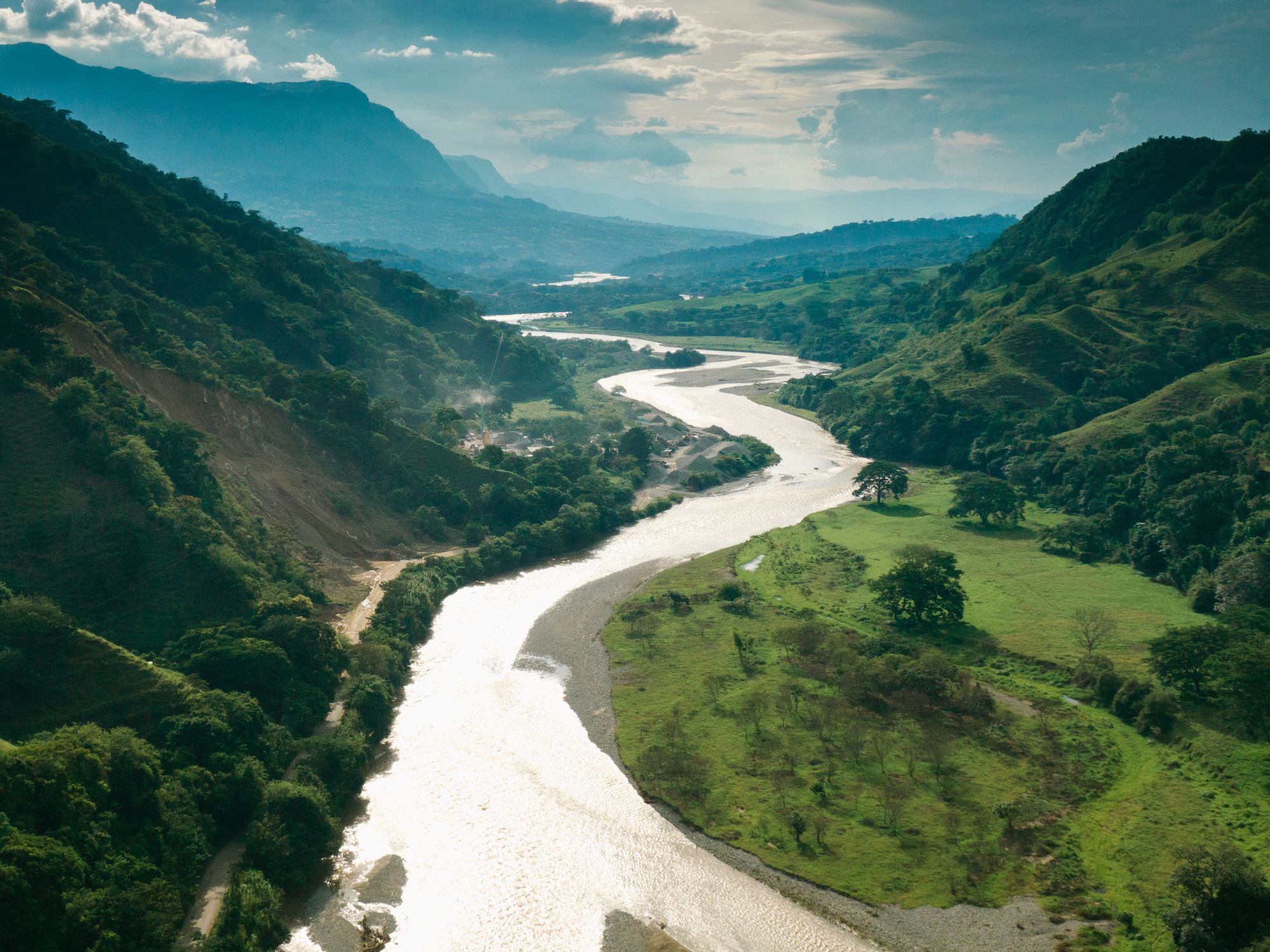
“Our work has raised attention from local and national government about the impact of wildfires on air quality. As a result, last month twenty congressmen sent a petition to the Colombian president asking to control wildfires in our country. Twelve Colombian professors also signed a similar petition. This year, with our support, a group of congressmen plan to submit a project to create new regulations to control wildfires.”
Luis Belalcazar
National University of Colombia.
Similar efforts are underway in Thailand, where scientists at the Upper ASEAN Wildland Fire Special Research Unit (WFSRU) are using CAMS data on carbon emissions to monitor and reduce air pollution across southeast Asia.


“Thailand has been heavily affected by wildfires, open burning, smoke and haze in the past few decades,” explains Veerachai Tanpipat from the Upper ASEAN WFSRU. “We have a long way to go in terms of mitigation – this is hard enough in Thailand itself but we are also trying to present CAMS fire emission information to Laos and Myanmar so they can work with us on their forest fire and smoke problems. Smoke travels across the borders between the three countries, but we don’t really understand smoke behaviour, so we need to study it further.”
CAMS currently provides data through maps and graphs, which have been used to fine tune local fire management policies. Yet eventually the team at the Upper ASEAN WFSRU will learn how to access CAMS data directly, so that they can process it into understandable formats for local government bodies and bolster efforts to mitigate harmful wildfires and smoke.
CAMS' monitoring contributes to the
United Nations’ Sustainable Development Goals


SDG GOAL 3: Good health and well-being
The United Nations’ SDG3 aims to improve the health of all citizens, including from the effects of avoidable respiratory diseases. Smoke inhalation can cause or exacerbate a wide range of health problems. If fires continue to gain in intensity, then smoke levels will follow. In helping to monitor the long-range transport of smoke plumes, CAMS could help improve the health and lives of many communities in affected regions and far beyond.
Wildfires directly contribute to climate change by releasing carbon dioxide and other greenhouse gases into the atmosphere.
Particulate matter from smoke can also travel long distances, potentially landing on snow and ice. This dark covering cuts down the amount of solar radiation that is reflected back to the atmosphere and into space, and reduces the albedo effect. This speeds up melting, leading to many knock-on effects, including worsening wildfires and global warming. Tracking smoke plumes can help scientists better understand the changes that may come and potentially carry out mitigating actions.