The European Weather Cloud


Scroll to explore selected use cases for the European Weather Cloud (EWC).
Supporting training
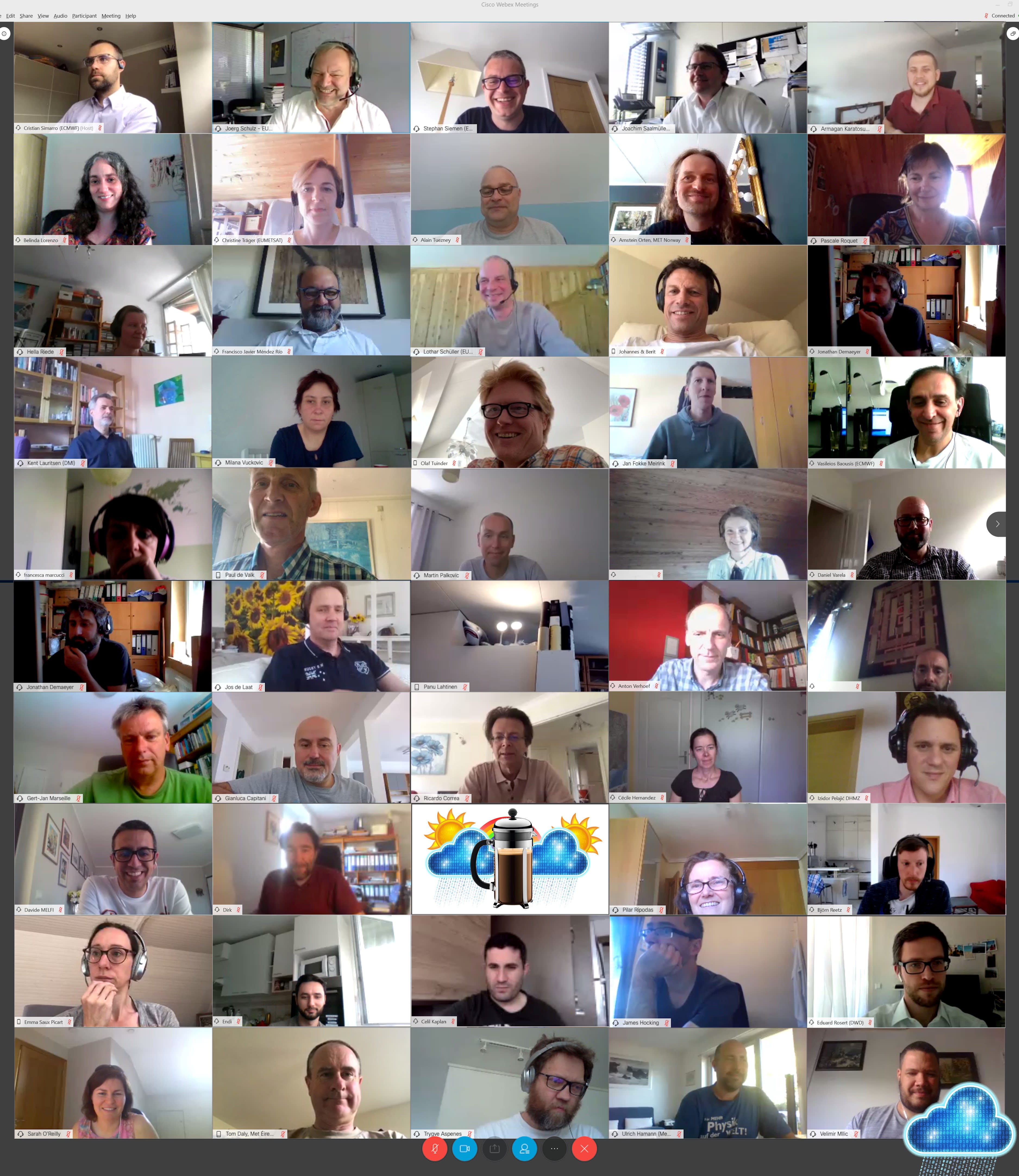
The EWC is highly valuable as a collaboration platform on which training courses can be run. One benefit is that it enables ECMWF and EUMETSAT Member States to run training sessions with a larger number of participants than would be possible in a physical classroom. For example, by using the EWC, a training course that would have previously been limited to ten seats could have the increased capacity of 100 participants.
Partly driven by COVID-related lockdowns, ECMWF has moved to virtual or hybrid training. In this scenario, it has been demonstrated that the EWC can provide support for the practical and hands-on sessions through virtual classrooms. The flexibility of the system means that Member States can also use the EWC as an infrastructure to run their own training.
EUMETSAT also runs virtual courses using the EWC, through which participants can more easily practise using EUMETSAT data by accessing virtual machines – computers with faster processing power, and more memory and storage than they would normally have access to. During the training courses for meteorologists as part of its International Summer School 2022, EUMETSAT provided ten virtual machines in the EWC. In addition, participants used virtual machines to access and run Jupyter notebooks, enabling them to display data from geostationary and polar-orbiting satellites quickly and easily.
The German meteorological service, Deutscher Wetterdienst, used the EWC during the 2020 edition of its training course on the ICON model – the German weather forecast model. Using the EWC made the practical part of the training session, when the numerous participants used the model themselves to forecast the weather and put into practice what they had learned during the lectures, go more smoothly.

Complementarity and flexibility
The South-East European Multi-Hazard Early Warning Advisory System (SEE-MHEWS) was designed to improve forecasting in an area of Europe that has experienced a significant number of meteorological and hydrological hazards. Implemented by the World Meteorological Organization (WMO), and hosted at ECMWF during the demostration phase, the system provides tools for forecasting such events and their potential impacts, on a single virtual platform.
The complementarity of the EWC means that the national meteorological and hydrological services (NMHSs) of participating countries can deploy their own web-based applications for their users. Rather than being sent to the NMHS' to be fed into their applications, the data produced in ECMWF’s high-performance computer facility (HPCF) by Member States who are participating in SEE-MHEWS are sent directly into the EWC. This flexible environment within the same data centre as the one hosting the HPCF means that, especially with the increased resolution in ECMWF's current forecasting system, IFS Cycle 48r1, the data can be fed directly to applications efficiently and without flooding the network.


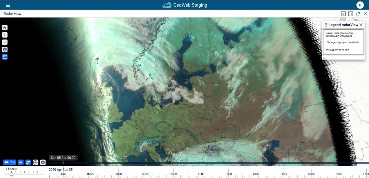
Central creation of a set of satellite images
The national meteorological and hydrological services in Iceland, Sweden, Norway, Denmark, Finland, Estonia, Latvia, and Lithuania, which together form the Nordsat collaboration, use the EWC to centrally generate a set of satellite images they can all access.
Before the EWC, each country needed to expend resources transferring EUMETSAT satellite data – including from Meteosat Third Generation and EUMETSAT Polar System-Second Generation satellites – and then creating images using local infrastructure. Now, using the EWC, they can collaborate to create one set of satellite images that they can all use and access directly.

Emergency response
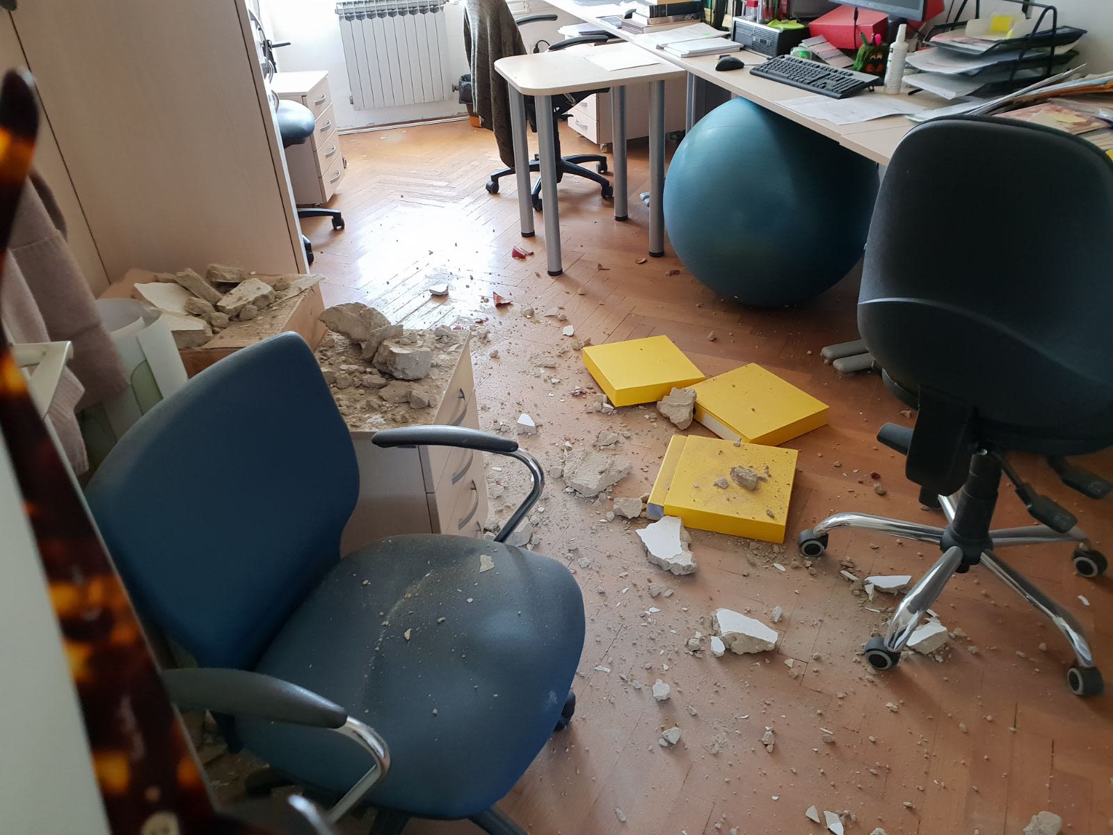
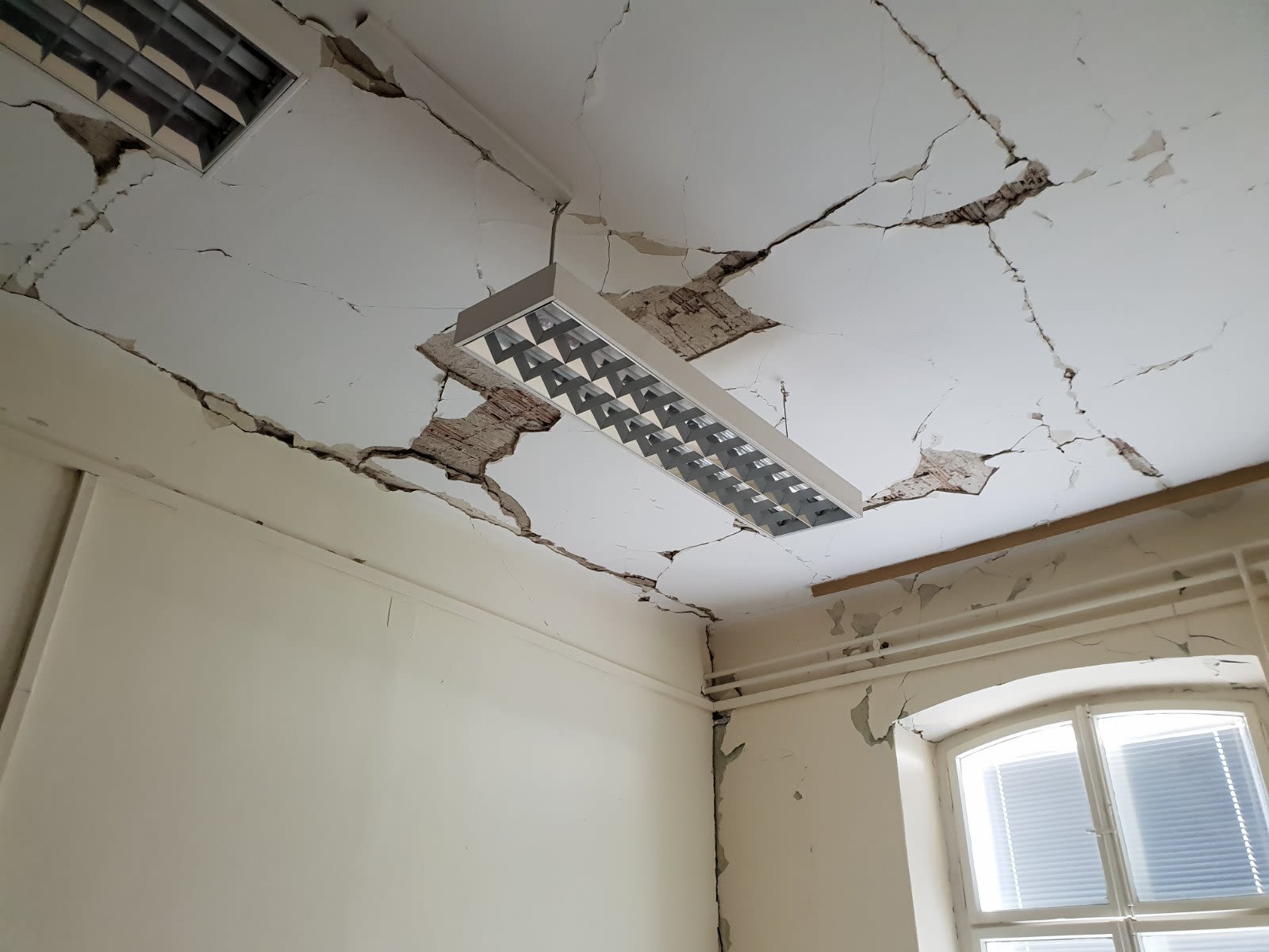
In March 2020, an earthquake severely damaged the headquarters of the Croatian Meteorological and Hydrological Service (DHMZ). There were no casualties and the IT infrastructure remained intact, but there was severe damage to the building hosting it. Despite the emergency situation, and with no previous preparation, a backup system was established on the EWC within days. Copies of the services that DHMZ was running were able to be deployed, running in parallel, providing reassurance in case of further deterioration of the building and associated infrastructure.
“I am hugely impressed by the prompt, effective response and support by ECMWF and EUMETSAT to DHMZ after the earthquake,” said Dr Branka Ivančan-Picek, Director General of DHMZ.
In 2021, DHMZ moved its offices and data centre to new premises. During this move, the backup running on the EWC and ECMWF’s HPC became operational, ensuring that DHMZ was able to provide an uninterrupted service to its users.

Interoperability
Whilst the EWC is primarily for ECMWF’s and EUMESTAT’s Member and Co-operating States, it is also available for WMO activities. The WMO Information System 2.0 (WIS 2.0) provides a framework for WMO data sharing. Users can contribute to and download data from the system.
While WIS 2.0 components could be deployed on any cloud, the WMO selected the EWC to host one of the core components during the pre-operational phase. Unlike the HPCF, the EWC is designed to run applications that provide a service available to external users. This example and others showing that the EWC could be interconnected with other clouds and other services around the world is invaluable and demonstrates the more outward-facing aspects of the EWC.

Aiding climate studies
Researchers from the Laboratory of Space, Geophysics, and Oceanographic Studies (LEGOS), based at the Midi-Pyrénées Observatory in Toulouse, France, use the EWC to access climate-quality Meteosat data quickly and easily. Looking to better understand the climate in the tropics, LEGOS researchers use images from Meteosat satellites to study a weather phenomenon known as mesoscale convective systems, collections of storms that contribute to extreme precipitation in the tropics.
Without a cloud computing platform, accessing Meteosat climate data records stored at EUMETSAT - which span more than 40 years - would have taken LEGOS researchers months to download. And processing and storing the data would have required far more computing facilities and capacity than they had available. Using the EWC, LEGOS researchers are able to access an enormous quantity of data directly, without the need to download, process, or store them themselves, enabling the scientists to carry out studies that include a research collaboration with EUMETSAT to gain deeper insight into climate processes.
Meteosat infrared satellite measurements (left) and derived convective cells and their tracks (right). Credit: Thomas Fiolleau, Laboratoire d’Etudes en Géophysique et Océanographie Spatiales/CNRS, Toulouse, France
Meteosat infrared satellite measurements (left) and derived convective cells and their tracks (right). Credit: Thomas Fiolleau, Laboratoire d’Etudes en Géophysique et Océanographie Spatiales/CNRS, Toulouse, France