Preserving Greek marine wildlife under a changing climate
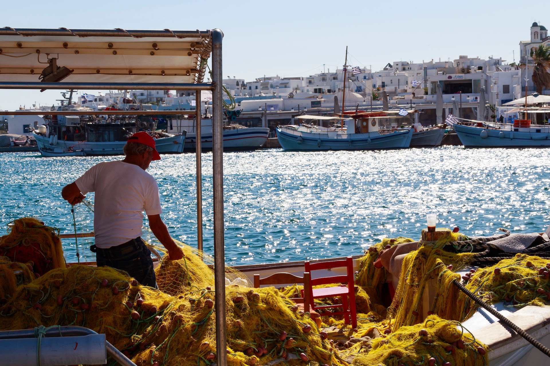
Fishing goes to the heart of Greek culture. For thousands of years, communities on coasts and islands throughout the Greek territory have drawn on the sea for food, livelihoods, and a shared purpose. Yet in recent decades, fish stocks have started to dry up.

The Plymouth Marine Laboratory wanted to see how climate change is transforming the ocean conditions in Greek waters, and how this would affect the distribution of fish, molluscs and crustaceans—species highly valued for conservation, fisheries and aquaculture. By using the vast array of information within the Copernicus Climate Change Service (C3S) Climate Data Store (CDS), could they help Greek coastal communities adapt to the changing climate?
How to manage Greek waters in a time of climate change
Climate change driven by human activities is changing the very composition of the world’s ocean. Ocean waters are soaking up huge amounts of carbon dioxide from the atmosphere which can greatly reduce fish stocks.
Oxygen levels are dropping in many parts of the ocean, in some cases severe oxygen depletion has occurred. And the ocean also absorbs huge amounts of energy from the atmosphere, warming the water. All these changes are profoundly affecting the species that live in the water, and many are migrating in search of more favourable conditions. This affects the whole food chain and ultimately the coastal populations that depend on them for their livelihoods.

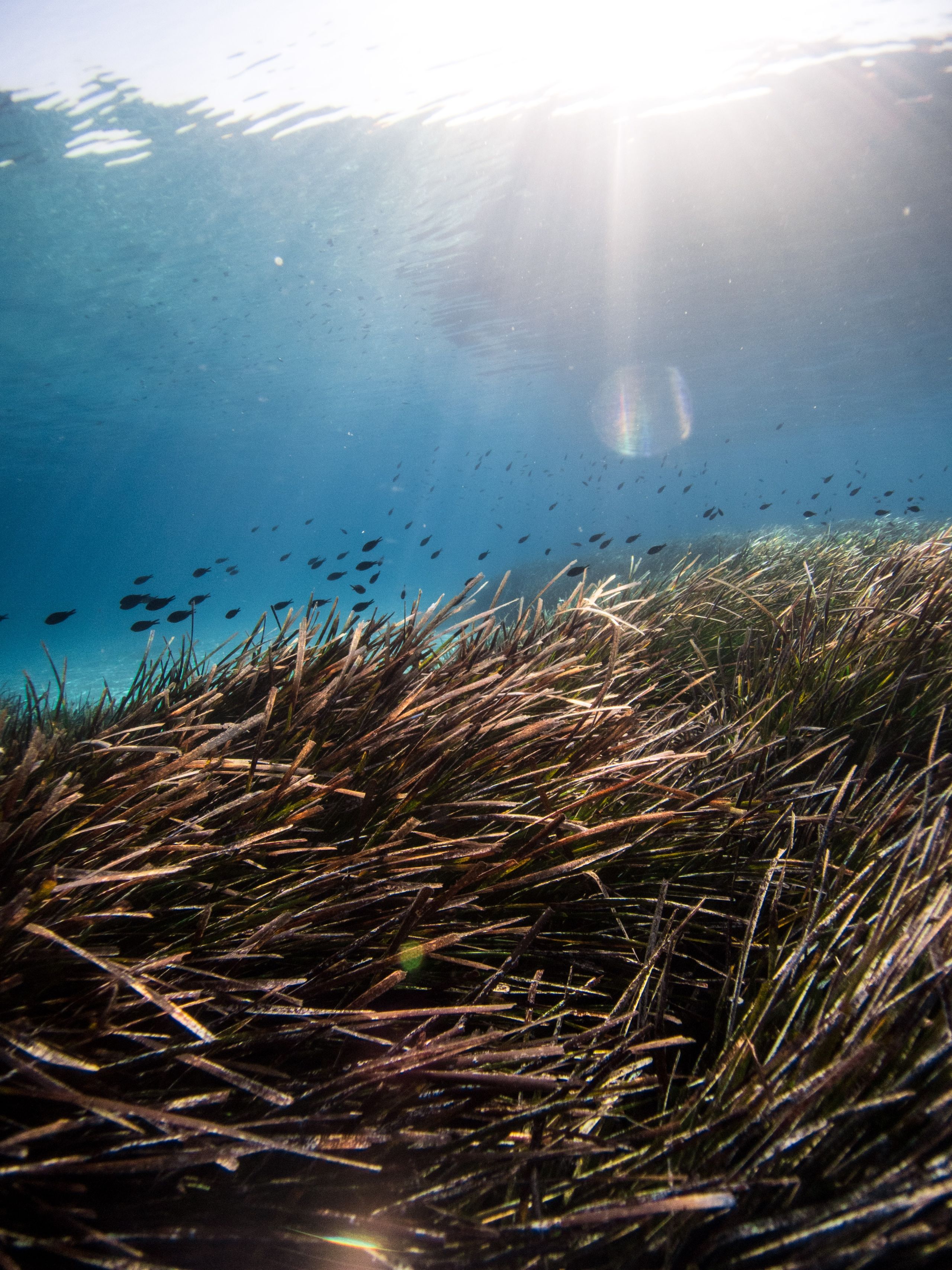

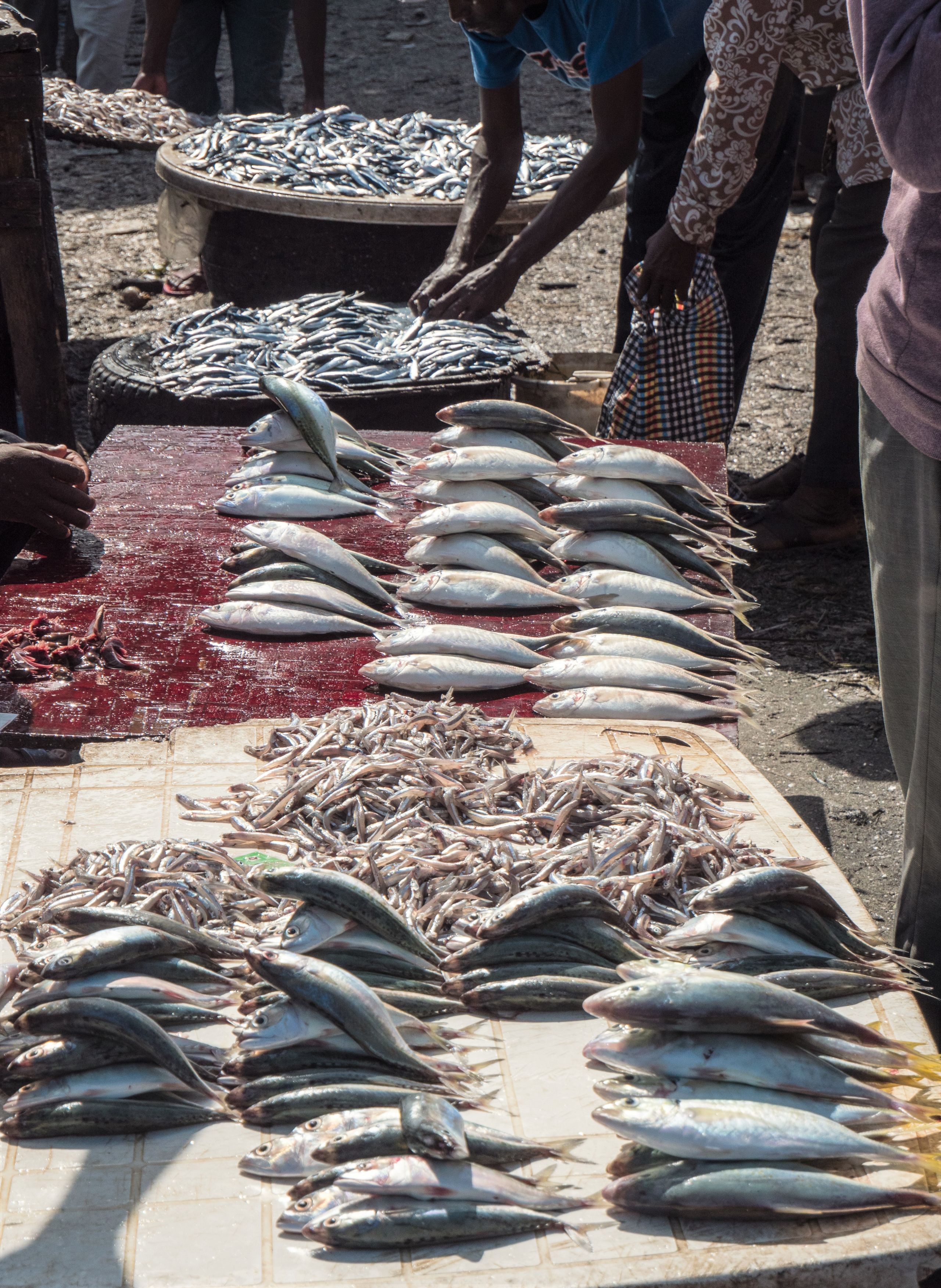
Since the mid 1990s, catches of iconic local fish like sardine, anchovy, hake, and red mullet have fallen dramatically in Greek waters. Scientists have linked the fall in fish numbers to climate change. Without action to regulate how marine resources are used, the situation threatens to upend a traditional way of life.
Fisheries and maritime sectors account for around 3% of Greece’s GDP. Without a solution, the impact on Greek fisheries will not only damage the country’s current economy but prevent the expansion of a sustainable blue economy, based on products taken from the ocean.
One way to mitigate these problems is through marine spatial planning. This involves mapping out areas of concern, and managing the ocean in the most efficient and sustainable way, including through the creation of protected areas.
It’s not just fishermen that use Greece’s territorial waters though. Conservation areas would have to take into account activities of many maritime sectors, including aquaculture and shipping.
Many marine populations are moving towards higher latitudes, though in reality the migration patterns are often far more complex. This makes effective and sustainable marine planning particularly challenging.
A solution would need to take account of the changing ocean environment and species distribution within it.
If emissions continue along the current path,
Greece’s territorial waters will see stark changes in chemical composition.
As the chemical composition of the water changes, many species find it increasingly difficult to survive, or grow properly.
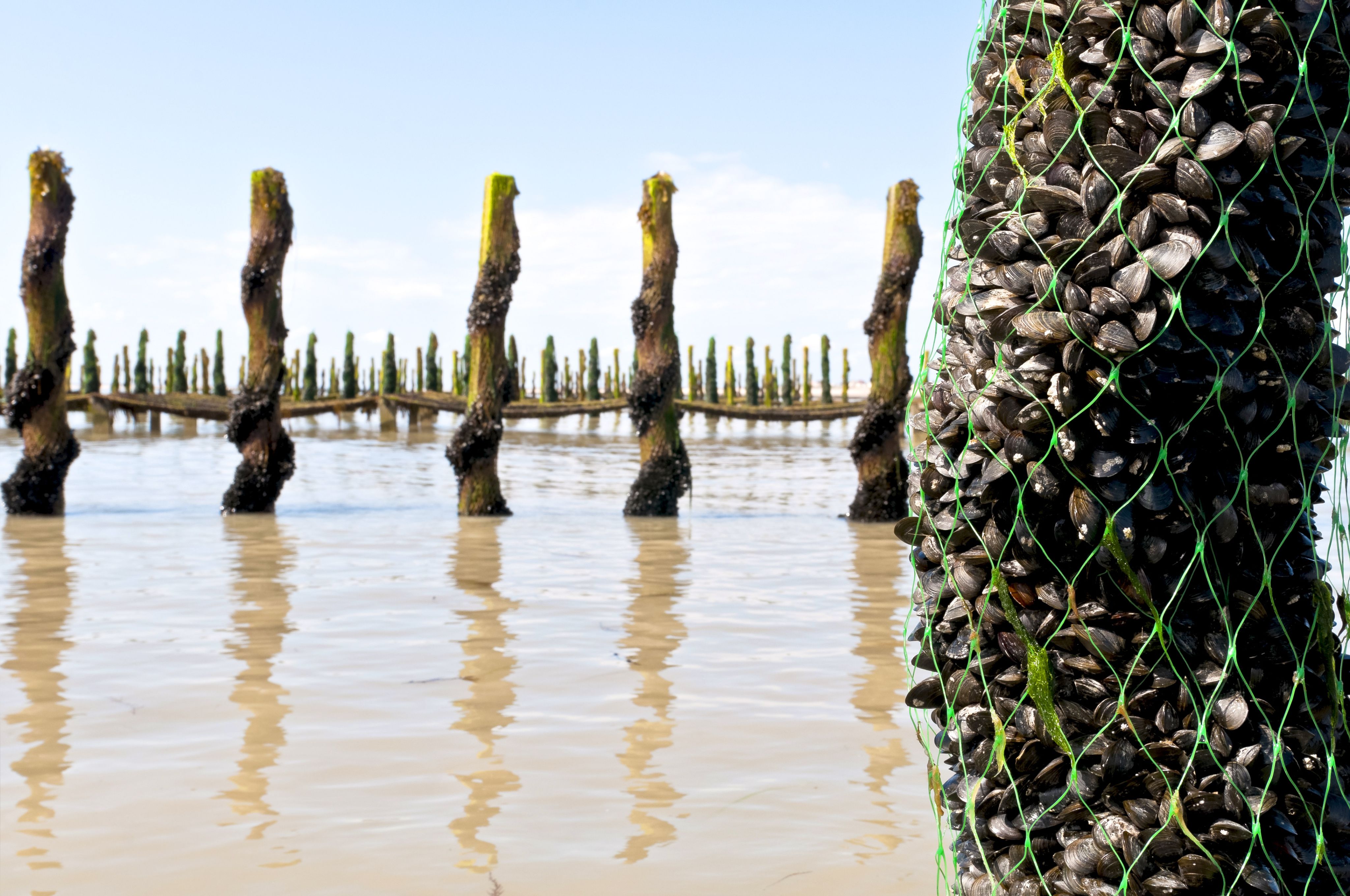
Many finfish and mussels are highly dependent on local environmental conditions and will be affected by changing waters, reducing seafood stocks further.
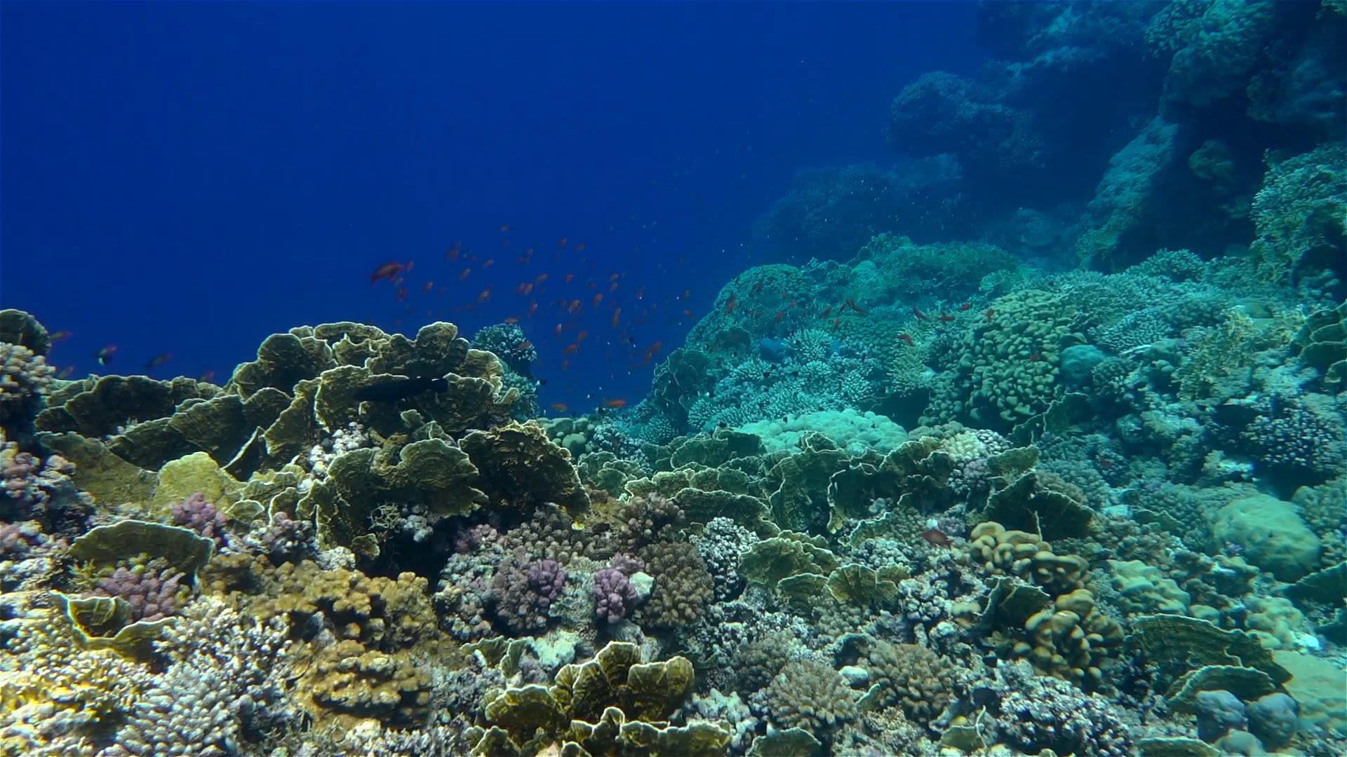
Increased levels of carbon dioxide result in decreasing calcium carbonate levels. This affects the skeletal growth of key marine species, such as coral and crustaceans. These corals and crustaceans form the bottom of the food chain, affecting all those further up including fish depending on it.
The chart highlights the extent of the change. It shows the calcite dissolution in the benthic layer that is likely to decrease with up to 2 mg C m-² per day in a future climate under RCP8.5 projected by POLCOMS-ERSEM, a coupled ocean-ecoystem model.
Levels of dissolved oxygen at the seabed surface will also fall, with similar cascading effects up the food web .
Overall numbers of marine species from the seabed to the surface will be affected by the changes, with knock-on effects for commercial catch potential .
If fishermen can find out where the fish will breed and thrive in the future, these areas can be designated as climate-smart marine protected areas.
A C3S activity was established to support fisheries in Greece’s territorial waters.
The Plymouth Marine Laboratory and Hellenic Centre for Marine Research joined forces, led by Dr. Ana Queirós, to understand the varied and complex ecosystems below the ocean surface, and how they would be affected by climate change.
While research institutes such as these can perform comprehensive analysis on the quality-assured C3S datasets, the end users of this research are Greek marine sector stakeholders who need the information in easy-to-digest formats.

They needed to find which areas would be most sensitive to climate change, the so-called ‘hot-spots’. But just as valuable is finding those pockets of the ocean that may be more resilient.
This can be defined as smaller effects, or more of a patchwork change within the ecosystem as opposed to widespread transformation. By figuring out these two defining regions, the spatial planning could be done in a way that was effective both from an environmental and human perspective.
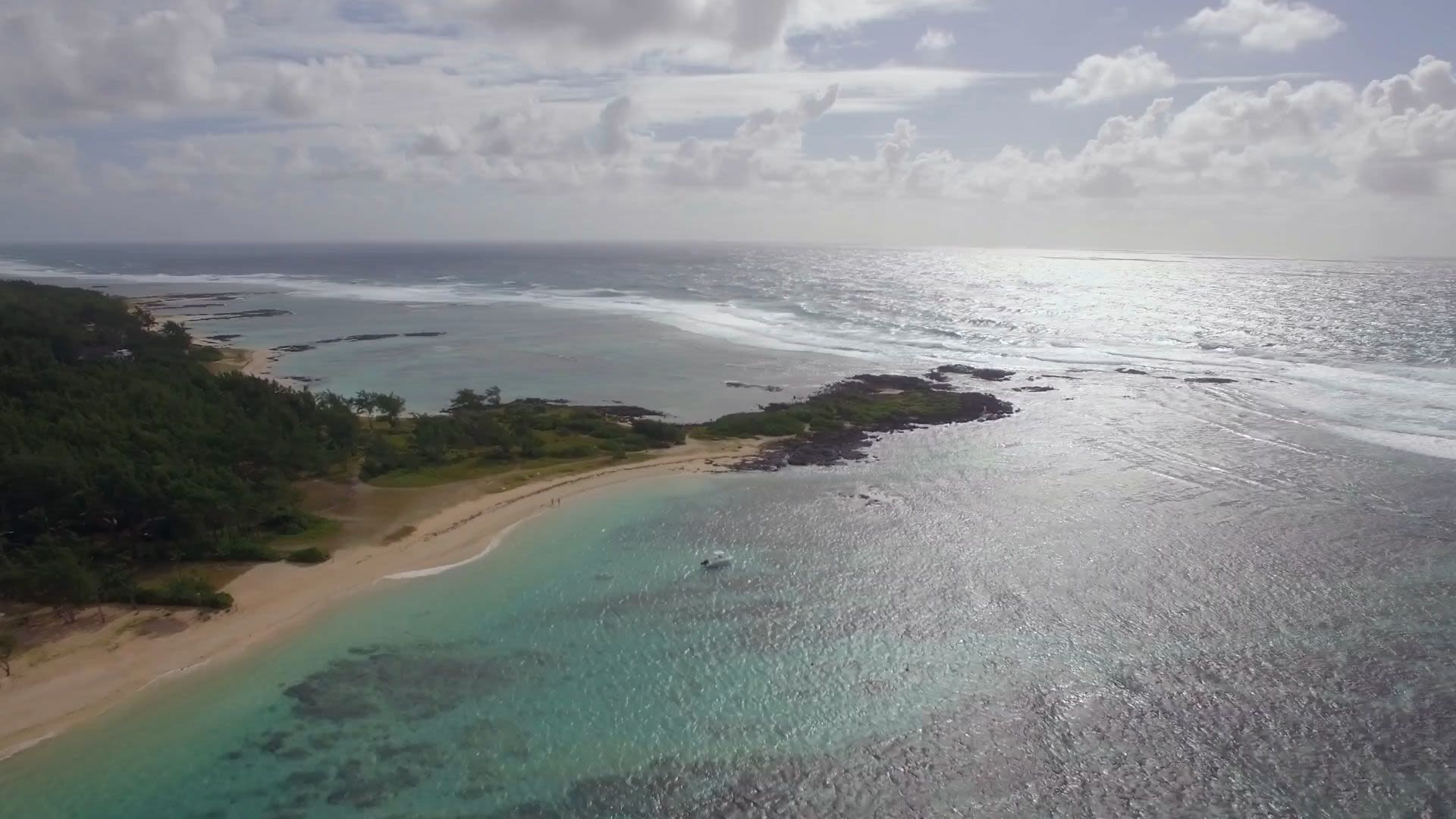
Background photo: Saronikos in Greece is a climate hotspot where climate change could have significant effect. Credit: Alex Antoniadis.
They turned to the CDS, which has a dataset on ocean biogeochemistry with detailed future projections of a wide range of ocean variables, such as oxygen, warming and ocean acidification.
To predict how the ocean would change under different climate change scenarios, the dataset on ocean fronts was also relevant. Ocean fronts occur when waters of different temperatures meet and this dataset is based on monthly projections of changes in ocean fronts in relation to the underlying climate. These fronts can impact the reproduction of commercially important fish.
Datasets showing the current and future distribution of various species—fish, molluscs and crustaceans—were also essential to this research, especially species specific to Greek waters. The CDS has projections of fish catch and abundance levels going out to the end of the 21st century for various climate scenarios. This combination of data is crucial for the management of marine protected areas, fisheries, and aquaculture sites, making it possible to see if certain regions will still have fish in the future.
In order to get the best use out of these datasets, they had to be analysed through specific methods known as spatial meta-analysis. This reveals the degree of change in each ecosystem over time.
Specifically, they analysed biogeochemical modelling data showing the impacts of environmental changes on high-value species for conservation, and species distribution layers that showed key species of commercial value to fisheries and aquaculture in Greece.
Finally, they matched up all this information with maps showing how different industries are using the ocean.
Background image: Spatial meta-analysis of ocean datasets on chemistry and fish abundance helped identify pockets of the ocean which are sensitive to climate change. Credit: Copernicus Climate Change Service, ECMWF.
“One of the major benefits of this service is that marine policymakers now have free access to data, tools and documentation that would otherwise be difficult to obtain and use.”
If all relevant members of society are not taken into account during the planning of marine protected areas, this can backfire as conflicts arise in the long term. If the ocean is therefore used in an unsustainable way, this will only add to the problems already arising from climate change. This would limit resources further, and limit the potential for a thriving future blue economy.
To avoid this problem, and to design the most effective solution, the team of Plymouth Marine Laboratory and the Hellenic Centre for Marine Research held workshops with various key members of society in Greece and the UK to better understand the needs and requirements of everyone involved.
This included other researchers, marine park managers, representatives from local and national governments, regional fisheries organisations and port authorities.

With their new analysis complete, the team created an application for the CDS using the CDS Toolbox. The application combines the various layers of data to compile intricate maps, showing how entire ecosystems will fare under climate change scenarios.
“The truth is that Marine Spatial Planning is not yet well established in Greek waters. The C3S tool will be a great help for stakeholders in order to engrave future policies.” – Eva Chatzinikolaou, Research fellow at Hellenic Centre for Marine Research.
Under RCP 4.5, in which carbon emissions are limited to below 2°C above pre-industrial levels, climate hotspots will start to emerge throughout Greek waters. In this map a black dot represents “hotspots” of significant change, where all variables exhibited trends of similar magnitude and direction. In this way black dots can show areas where climate impact will be most significant by the end of the 21st century in the Greek exclusive economic zone (EEZ).
Under RCP 8.5, climate hotspots will appear through much of the Greek EEZ by the end of the 21st century, presenting a drastic environmental change.
For aquaculture, the team found worrying signals. Over the next few decades, many of these vulnerable climate hotspots will see worsening conditions that will affect commercial species, such as mussels. Decreased oxygen and light in bottom waters will provide worse habitats for primary producers such as the Posidonia seagrass, which is an important component of the food chain.
One of the major benefits of the marine spatial planning application in the C3S Climate Data Store, is that now anyone involved in the marine sector can have free access to high quality data with accessible tools. The maps are easy enough to use by non-scientists. They are designed so that a fisherman can look to see whether a specific breeding ground will still be productive by the middle of the century, for example, and plan accordingly. Or local authorities can look at the maps to understand where the best places might be to start aquaculture farms in coastal waters.
The team supporting this activity for Greek fisheries designed tutorials to show the steps they took to arrive at their conclusions. Users can explore the data behind the maps, so that other academics wanting to carry out marine spatial planning can use these as a template.
Through the project, the team already found an important regional distinction in Greek waters. Developing a network of marine protected areas in the West would be far more resilient to the climate than elsewhere in the centre and eastern parts.
This means the western zone could be used at great advantage. Protected areas could be expanded here to provide long term shelter to commercially important species. Existing aquaculture projects could be expanded here. Fishing and other industries could shift further toward central and eastern parts of the Greek EEZ.
“The subject and the aims of the tools were clear and well understood. (…) we consider such tools as very useful. Although we do not use them yet in our everyday routines we would be interested to get more experienced in the future.”
Management Agency of Dodecanese Protected Areas (MADPA)
(formerly Karpathos MPA) after a demonstrator webinar (June 2019)

Making progress towards SDGs
Aquaculture is the fastest growing fishery sub-sector. Greece is expanding funding into this industry, in the hope of generating jobs, economic growth and a steady supply of food.
In many regions of the world, including Europe, aquaculture is a subsistence activity, providing nourishment and socioeconomic benefits to a wide range of communities. This C3S activity therefore contributed to the two SDGs:
SDG 1: No Poverty; and SDG 2: Zero Hunger.
Future research from the project will move beyond Greek territorial waters to the Western Indian Ocean, under the Global Challenges Research Fund programme Solstice.
The techniques developed here will be used to develop aquaculture in the region to thrive sustainably in the long term, thus contributing to SDG 14: Life below water.
The final contribution is to SDG 13: Climate Action, through the identification of climate resilient habitats in the coming decades.